
Exhibition Maps: navigation and manipulation
Are maps objective or do they convey hidden messages that you would miss at first glance? A map is always a simplification of reality. Mapmakers reduce, distort and select. This allows the reader to be guided literally and figuratively. Leiden University Libraries (UBL) and the Museum Volkenkunde jointly created the exhibition ‘Maps: navigation and manipulation’. The exhibition shows maps from all over the world, in combination with works by contemporary artists. The exhibition in the Museum Volkenkunde can be viewed from 21 October 2022 to 29 October 2023.
The function of maps
When looking at a map, we should always ask ourselves: who mapped this, and why? There is always a reason to make a map. You may want to find your way from A to B or want to determine that a football field of primeval forest has been lost. People use maps to shape the world, to envision the world, or to influence the world. Maps are also produced to manipulate people, justify war, or to take land. The exhibition shows how maps are part of the system that aims to appropriate and control people and places.
At a time when problematic histories, such as slavery, are under magnifying glass, maps are being used in new ways. People use them to criticize the way history is told and in the fight against oppression. Identity and independence play a role in this.
set-up of the exhibition
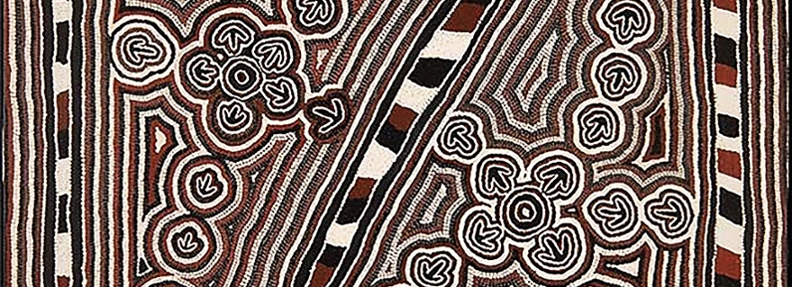
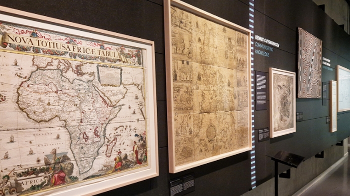
The exhibition showcases maps from the collections of UBL and work by contemporary artists. The first part covers the appearances of maps, with maps for navigation, maps of the universe and aesthetic maps. The second part focuses on a particular question: what can you map? With, for example, a philosophical representation of the brain, through the map ‘The Autistic Brain’, in which the artist Tzipporah Johnston conveys everyday experiences with autism. Finally, the last part of the exhibition shows the effects of maps, in other words, what influence or power they can exert. With this exhibition we try to make visitors look more critically at the maps. Are maps really that truthful or do they hold messages that aren’t always readily apparent?
Hidden messages on display
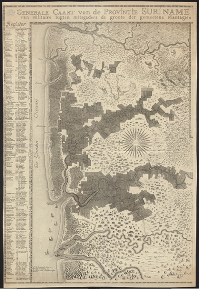
Some of the maps in the exhibition display some surprising details. Take, for example, a map with Surinamese plantations where the plantations are neatly lined up. The viewer is challenged to question certain things. Are things going well in the colony of Suriname? And why are villages marked with plumes of smoke? Maps: Navigation and manipulation gives an insight into the multilayered nature of maps.
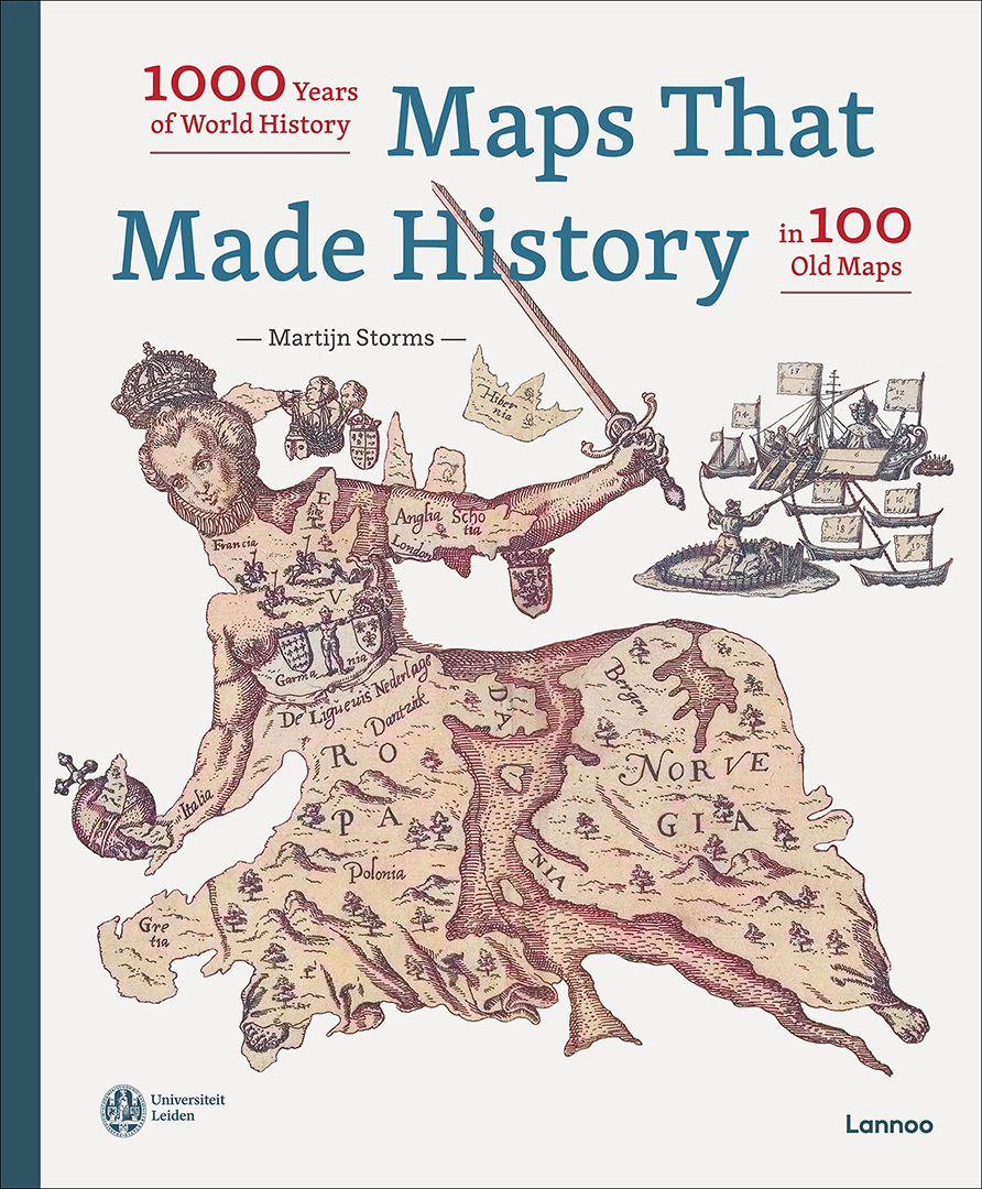
Book Maps that made history
Many maps in the exhibition also feature in the book Maps that made history from Lannoo publishers. In the book, the reader is taken on a journey across the world, spanning 1000 years in time. Each of the 100 carefully selected maps influenced the course of world history. The maps were used to settle a conflict, during a battle, for the construction of a road or canal, on an important shipping route, or as a propaganda tool. They may have mapped areas or developments for the first time, or in a completely idiosyncratic way. Some maps remained curiosities, others became world-renowned. Included in the book are 100 wonderful old maps, 100 captivating stories, and 250 full colour illustrations. From a Persian world atlas from the 12th century, to a Soviet spy map. From Leiden to Ceylon, Guyana, Philadelphia and the Sahara. Each map is shown in large format and accompanied by historical perspective from an experienced team of historians.